|
The
States, Districts and Territories of the United States
>
Navassa Island |
|
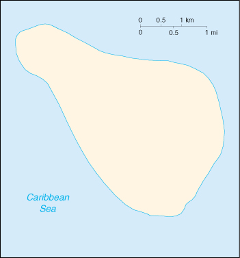 Navassa Island. |
|
Location: Caribbean,
island in the Caribbean Sea, about one-fourth of the way from Haiti
to Jamaica. Strategic location 160 km south of the US Naval Base at
Guantanamo Bay, Cuba; mostly exposed rock, but enough grassland to support
goat herds; dense stands of fig-like trees, scattered cactus. Raised
coral and limestone plateau, flat to undulating; ringed by vertical
white cliffs (9 to 15 m high). |
|
DISCLAIMER Any reference obtained from this server to a specific commercial product, process, or service does not constitute or imply an endorsement by the United States Government of the product, process, or service, or its producer or provider. The views and opinions expressed in any referenced document do not necessarily state or reflect those of the United States Government. |
|
U.S. Diplomatic Mission to Germany
/Public Affairs/ Information Resource Centers Updated: June 2003 |